The ongoing war in Ukraine has led to the destruction of the country and the massive displacement of its citizens. The threat to power plants in Ukraine has been observed from space, capturing every step Read More
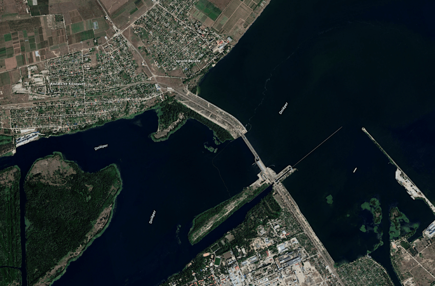
The ongoing war in Ukraine has led to the destruction of the country and the massive displacement of its citizens. The threat to power plants in Ukraine has been observed from space, capturing every step Read More

Space technology has emerged as a pivotal tool in humanitarian aid. Space applications contribute significantly to disaster management, crisis response, and international development efforts through their far-reaching capabilities. Integrating Earth observation data, satellite communications, and Read More
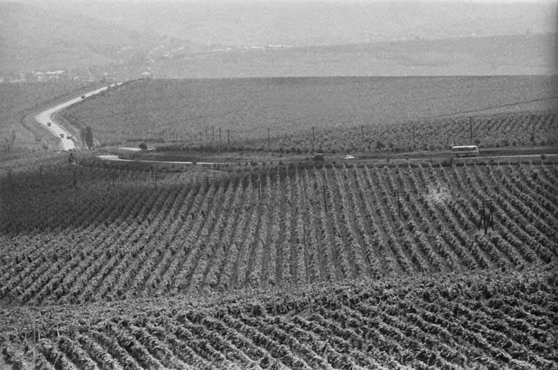
Apart from scarecrows, biophysical variables for vegetation derived from satellite data can monitor fields, crops and fruit trees — a story from Hîncești District, Republic of Moldova. Satellite imagery and products speak a thousand Read More
BIOPHYSICAL VARIABLES FROM REMOTE SENSING Satellite technology and data for the past decade have been optimized for agricultural applications, which can be applied anywhere in the world. More and more vegetation bio-geophysical variables extraction by Read More
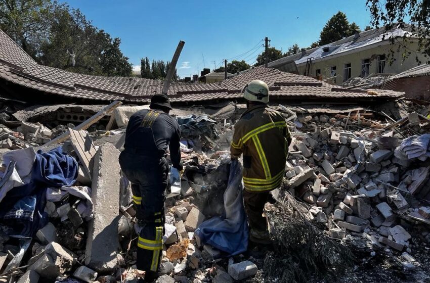
It has been over a year that Russian troops started the war in Ukraine. The widespread destruction of lives and infrastructure has continued until today, with the battle of Bakhmut as one of the major Read More

In this article guest author Reda Meftahi of Survey Intelligence writes about the fundamental misconceptions associated with the interpretation of InSAR data.Reda would strongly encourage the reader to question every provider on the uncertainty Read More
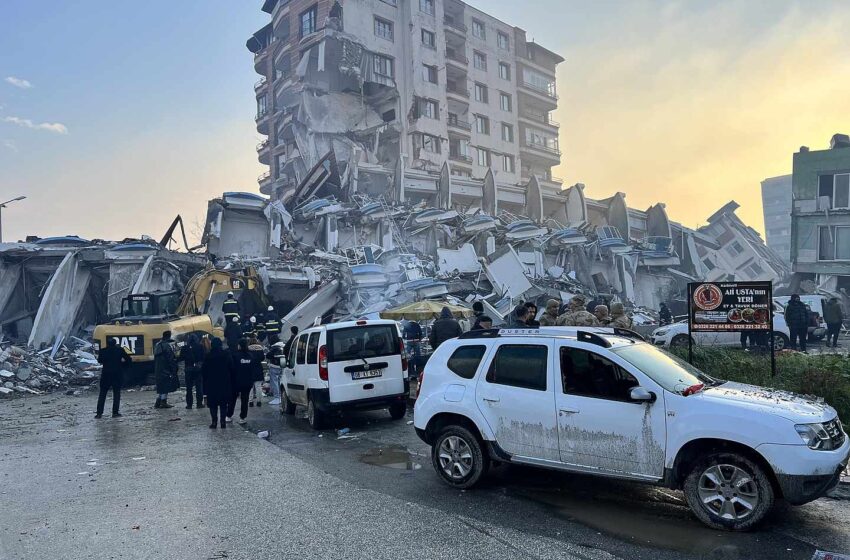
On 6 February 2023 at 01:17 UTC, a 7.8 magnitude earthquake struck the border between Turkey and Syria, causing loss of life, severe injuries to people, and large scale loss of infrastructure across a large affected region. Right from Read More

Eight months into the war in Ukraine and we continue to see widespread destruction of lives and infrastructure, more than 7.7 million Ukrainians fleeing their country, and a third of the population displaced. In addition, there Read More

Last month the Ukrainian people bought a satellite. A fundraising project for the purchase of ‘Bayraktar’ reconnaissance drones by the Serhiy Prytula Foundation ended with the purchase of a satellite to help the Ukrainian army. Read More
Featured image by wirestock on Freepik SAR remote sensing methods have evolved to be among the most useful monitoring techniques in modern mining. This article describes some of the newest technologies for keeping mines safe Read More

© 2026, dotSPACE Foundation | All rights reserved.