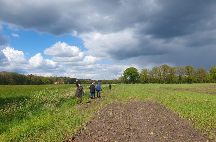
The evolution of SAR satellite imagery for measuring minute surface deformation in areas around volcanoes is the latest space application in the volcanic researchers’ toolkit to spot early-warning signs of possible eruptions and dangers to Read More
On 6 February 2023 at 01:17 UTC, a 7.8 magnitude earthquake struck the border between Turkey and Syria, causing loss of life, severe injuries to people, and large scale loss of infrastructure across a large affected region. Right from Read More
Using SAR satellite remote sensing for earthquake disaster management
Earthquakes are one of several natural disasters that can occur unexpectedly and with great damaging effects to humans and property. SAR satellite data can help map earthquake disaster areas rapidly and with great accuracy, under Read More
NISAR is a new mission of the US National Aeronautics and Space Administration (NASA) and the Indian Space Research Organisation (ISRO), scheduled to launch in 2023. This new mission will measure Earth’s changing ecosystems, dynamic Read More
Eight months into the war in Ukraine and we continue to see widespread destruction of lives and infrastructure, more than 7.7 million Ukrainians fleeing their country, and a third of the population displaced. In addition, there Read More
One of the United Nations Sustainable Development Goals is SDG 11: “Make cities and human settlements inclusive, safe, resilient and sustainable”. Earth Observation (EO) data provides the data about cities that forms the basis for the Read More
SAR remote sensing methods have evolved to be among the most useful monitoring techniques in modern mining. This article describes some of the newest technologies for keeping mines safe for both mining operators as well Read More
Synthetic Aperture Radar (SAR) from space is particularly well suited for change detection on the ground. With its ability to look through clouds and darkness, SAR remote sensing consistently produces high quality, well calibrated imagery Read More
Synthetic Aperture Radar (SAR) imaging from space is in its golden age. With an increasing number of space-based SAR sensors in operation, and an increasingly growing temporal and spatial resolution, combined with the characteristics of Read More
Agriculture is one of the key application areas of satellite data. We have all heard about precision farming using satellite navigation signals and a large array of Earth Observation techniques that help farmers identify soil Read More