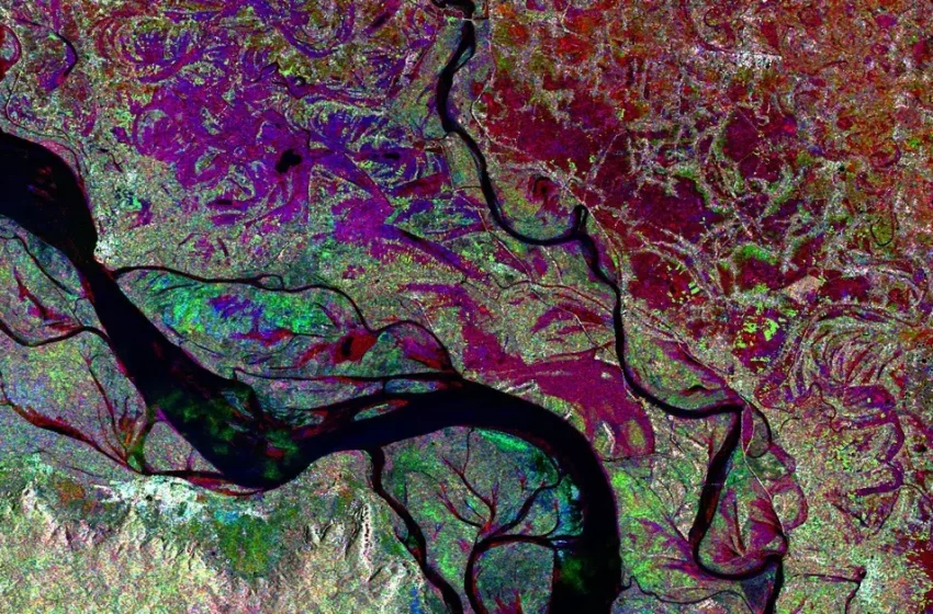
Synthetic Aperture Radar (SAR) imaging from space is in its golden age. With an increasing number of space-based SAR sensors in operation, and an increasingly growing temporal and spatial resolution, combined with the characteristics of Read More
Synthetic Aperture Radar (SAR) imaging from space is in its golden age. With an increasing number of space-based SAR sensors in operation, and an increasingly growing temporal and spatial resolution, combined with the characteristics of Read More

Featured Image Credit: Bioscope Agriculture is one of the key application areas of satellite data. We have all heard about precision farming using satellite navigation signals and a large array of Earth Observation techniques that Read More

Radar satellite imagery (SAR) offers great opportunities for assisting humanitarian operations during war, offering support to displaced people in their own and in hosting countries, like the current situation in Ukraine. It helps relief organizations Read More
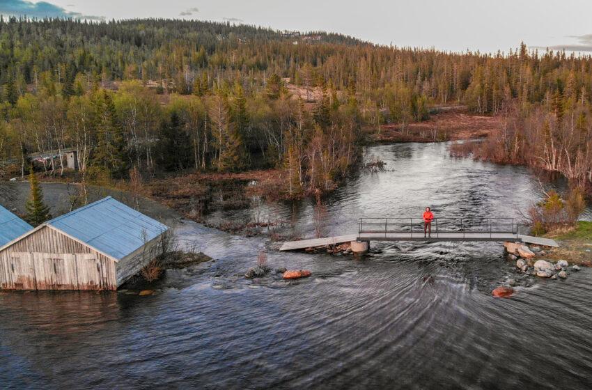
Featured Image by wirestock on Freepik One of the biggest challenges of climate change is water-related. Flooding of cities is a natural hazard that occurs in many countries worldwide, generating economic, material and human loss. Read More
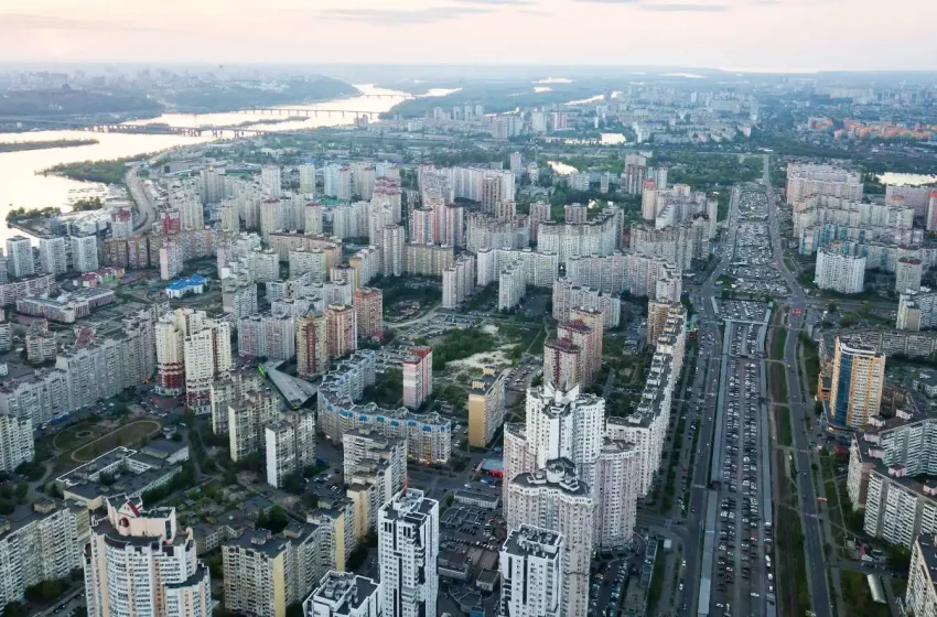
The rise in population in the last 100 years has led to a rapid expansion of the world’s cities. As a consequence, there are big infrastructure developments and construction projects, leading to urban change, Read More

The interpretation of Synthetic Aperture Radar (SAR) satellite images involves the identification and measurement of targets in a radar image. This radar image is the result of extensive data processing, including calibration, geometric, and radiometric Read More
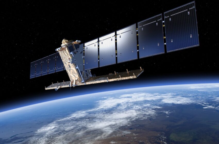
The situation “does not look very good” for the Sentinel-1B satellite of the EU’s Copernicus Earth observation programme, confirmed European Space Agency (ESA) Director General Josef Aschbacher and Simonetta Cheli, head of ESA’Read More

The European Commission has launched an Invitation to Tender (ITT) to set up a system prototype demonstration of the SAR/Galileo return link service two-way messaging services and develop and validate a prototype of Second Read More

© 2023, dotSPACE Foundation - All rights reserved.