In this article guest author Reda Meftahi of Survey Intelligence writes about the fundamental misconceptions associated with the interpretation of InSAR data.Reda would strongly encourage the reader to question every provider on the uncertainty Read More
Tags :SAR
The evolution of SAR satellite imagery for measuring minute surface deformation in areas around volcanoes is the latest space application in the volcanic researchers’ toolkit to spot early-warning signs of possible eruptions and dangers to Read More
On 6 February 2023 at 01:17 UTC, a 7.8 magnitude earthquake struck the border between Turkey and Syria, causing loss of life, severe injuries to people, and large scale loss of infrastructure across a large affected region. Right from Read More
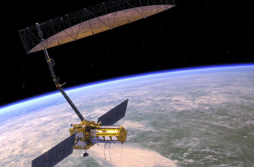
NISAR is a new mission of the US National Aeronautics and Space Administration (NASA) and the Indian Space Research Organisation (ISRO), scheduled to launch in 2023. This new mission will measure Earth’s changing ecosystems, dynamic Read More
Eight months into the war in Ukraine and we continue to see widespread destruction of lives and infrastructure, more than 7.7 million Ukrainians fleeing their country, and a third of the population displaced. In addition, there Read More
Last month the Ukrainian people bought a satellite. A fundraising project for the purchase of ‘Bayraktar’ reconnaissance drones by the Serhiy Prytula Foundation ended with the purchase of a satellite to help the Ukrainian army. Read More
Featured image by wirestock on Freepik SAR remote sensing methods have evolved to be among the most useful monitoring techniques in modern mining. This article describes some of the newest technologies for keeping mines safe Read More
Since the Russian invasion into the territory of Ukraine, many organisations jumped in to help the Ukrainian people. We mentioned a few examples earlier, when satellite imagery companies offered to provide Ukraine satellite data to Read More
On 23 December 2021, Copernicus Sentinel-1B experienced an anomaly related to the instrument electronics power supply provided by the satellite platform, leaving it unable to deliver radar data. Since then spacecraft operators and engineers have been Read More
Synthetic Aperture Radar (SAR) from space is particularly well suited for change detection on the ground. With its ability to look through clouds and darkness, SAR remote sensing consistently produces high quality, well calibrated imagery Read More


