Synthetic Aperture Radar (SAR) from space is particularly well suited for change detection on the ground. With its ability to look through clouds and darkness, SAR remote sensing consistently produces high quality, well calibrated imagery Read More

Synthetic Aperture Radar (SAR) from space is particularly well suited for change detection on the ground. With its ability to look through clouds and darkness, SAR remote sensing consistently produces high quality, well calibrated imagery Read More

In the summer edition of the monthly digest, we share some of the most important news and insights that we shared with you over the past month. Open Calls Network At the end of June Read More
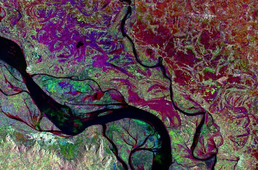
Synthetic Aperture Radar (SAR) imaging from space is in its golden age. With an increasing number of space-based SAR sensors in operation, and an increasingly growing temporal and spatial resolution, combined with the characteristics of Read More

Featured Image Credit: Bioscope Agriculture is one of the key application areas of satellite data. We have all heard about precision farming using satellite navigation signals and a large array of Earth Observation techniques that Read More

Radar satellite imagery (SAR) offers great opportunities for assisting humanitarian operations during war, offering support to displaced people in their own and in hosting countries, like the current situation in Ukraine. It helps relief organizations Read More

To keep pace with the expected population growth on Earth, modern agriculture production must increase up to 70 percent by 2050, according to the Food and Agriculture Organization of the United Nations. Addressing this food production Read More
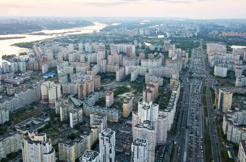
The rise in population in the last 100 years has led to a rapid expansion of the world’s cities. As a consequence, there are big infrastructure developments and construction projects, leading to urban change, Read More
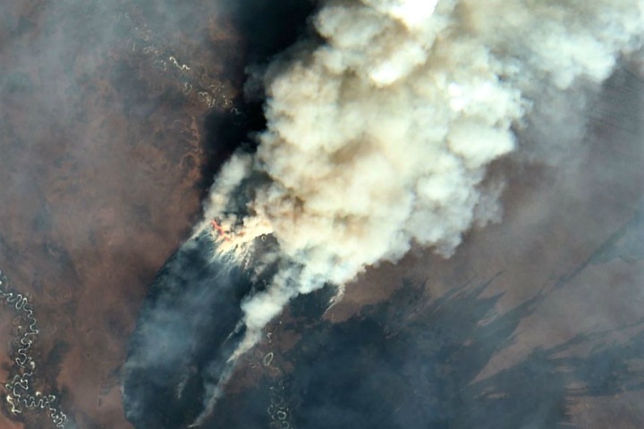
Spring and summer are the peak seasons for wildfires. Its consequences can be devastating, ranging from significant loss of forest areas and risks to residential areas, to animal deaths and severe air pollution. One of Read More

From the first days of the invasion of Russian troops into the territory of Ukraine, we have written about the possibilities of using satellite data technologies to support the people of Ukraine. This week marks Read More

The interpretation of Synthetic Aperture Radar (SAR) satellite images involves the identification and measurement of targets in a radar image. This radar image is the result of extensive data processing, including calibration, geometric, and radiometric Read More

© 2023, dotSPACE Foundation - All rights reserved.