Combining requests and solutions: Stakeholder and End-User Workshop for Rip Current Innovation
- Marine MUI-Sat
Tessa Buckley
- 0
- 8 minutes read
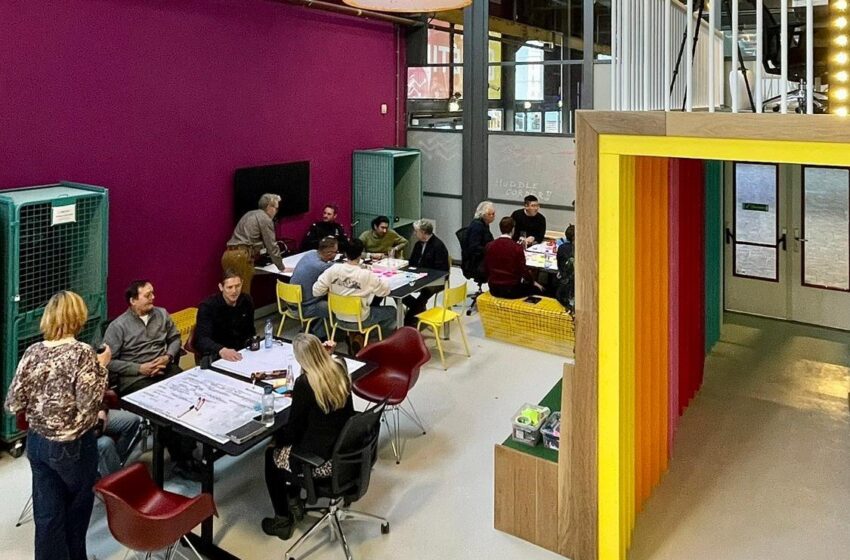
Image credit: dotSPACE
On the 8th February, dotSPACE and Water Insight hosted the stakeholder and end-user workshop for the innovation of rip current technology. The event was held at METIP, the Maritime Emerging & Enabling Technologies Innovation Park, based in Den Helder. Stakeholders and end-users gathered to discuss the upcoming MUI-SAT project, which uses satellite imaging and artificial intelligence innovation to model rip currents along the Dutch coast.
The expert stakeholders and end-users involved came from various municipal authorities, rescue teams, lifeguard organisations, beach and coastal management authorities, drone technology companies, and water management organisations.

The story so far
Currently and in the past, there have been experiments with recognising rip currents using cameras and drones along the coast. Under the working title “Safe coastal, beach and dune tourism”, a pilot project as an initiative of METIP collaborating with DroneQ and the Dutch Rescue Brigade Den Helder, was launched in the Kop van Noord-Holland, the Netherlands, to investigate how drones can be used to recognize rip currents and to locate drowning people. The new MUI-SAT project aims to support beach safety with risk maps derived from AI from satellite images.
Aims of the workshop
To bridge the gap between satellite data and the market, dotSPACE organised this discussion to assess the market feasibility of the project. To create the solution, hearing first-hand from those involved with beach safety helps us understand their crucial frustrations and needs. Not only are we addressing the needs of professionals, but the MUI-SAT solution will translate to the safety of the public.

Workshop in-action
The workshop began in METIP’s tech hub, hosted by dotSPACE. The workshop began with a speech from the Ontwikkelingsbedrijf Director, Esther Zijl. Esther encouraged entrepreneurship, innovation and sustainable development in Noord-Holland Noord.


Dr Steef Peters from Water Insight gave detail on the MUI-SAT project, including how their expertise in water remote sensing products and services has enabled Water Insight to model rip currents along the Dutch coast with satellite imaging and artificial intelligence.
Progressing to the ‘huddle corner,’ the participants discussed their needs, frustrations, positives and negatives of their experience as a professional using technology for beach safety. As a result, we were able to identify solutions to address their needs. By mixing professionals from various disciplines, the conversation opened unexplored routes.

Insights
- Participants from lifeguard organisations and rescue teams gave the feedback that prediction instead of detection is vital for rescue and prevention purposes.
- Public engagement and education is a crucial method to assist this prevention.
- Meteorological and environmental conditions as well as citizen-science are interlinked. Integration of pre-existing data collection initiatives with rip-current information will create a comprehensive and robust data set.
- Technological advancement and ease of obtaining data is paving the way for aiding beach rescue, resultantly keeping citizens and workers safe.
Thank you METIP for hosting the workshop and Esther for an informative, inspiring talk. And thank you to all who attended and for starting the debate on how to use technology to make the world a better place.
Check out more on MUI-SAT and dotSPACE
MUI-SAT is a project of Water Insight and DotSPACE and is financed by Netherlands Enterprise Agency RVO. With the MUI-SAT project we will see if we can support rescue organisations by making risk models. These maps are derived from satellite imaging using artificial intelligence and should show where there is a potential risk of rip currents. Rip tides move, therefore new maps are made as often as possible. The MUI-SAT service will offer supporting solutions for better beach safety in coastal areas of the Netherlands and beyond.


