Using Copernicus data to target manure pollution risk: inside the Dutch CASSINI Hackathon winning solution
- HACKATHONS
Kacia Rutkoŭskaja
- 0
- 13 minutes read
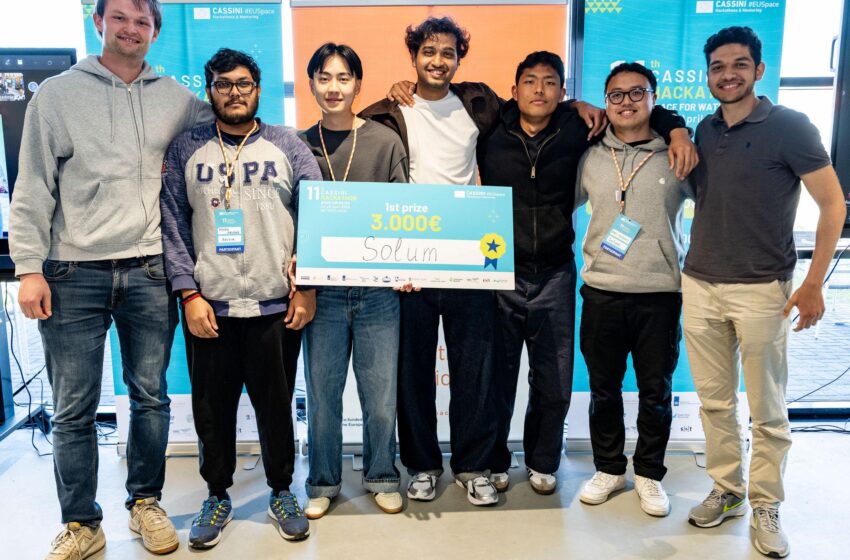
Team Solum, a group of students and graduates from TU Eindhoven and TU Delft, won the Dutch edition of the 11th CASSINI Hackathon with a platform that uses satellite data to identify farmland at risk of manure-related water pollution. Their solution helps water authorities prioritise inspections through parcel-level risk assessment and gives farmers a way to assess their own compliance risk, addressing both sides of a problem that has been difficult to tackle at scale.
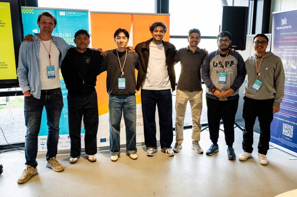
The team, Abbas Hussain, Francisco Xu Shan, Salaheldin Nounou, Rafi Hidayat, Divo Abimanyu, Ayudh Haldar, and Thomas Rosendaal, brings together expertise across software, engineering, and data-driven analysis. For several of them, it was not their first time at the Dutch CASSINI Hackathon. The same core group had competed in the previous edition, placing second with a flood-early-warning system. They returned with a different team composition, a different topic, and a more defined approach shaped by that experience.
The hackathon took place from 24 to 26 April at CometLab, NL Space Campus in Noordwijk, and was one of ten simultaneous national editions held across Europe. Participants in Austria, Bulgaria, Hungary, Italy, North Macedonia, Norway, Poland, Romania, Spain and the Netherlands tackled water-related challenges using European space technologies. The competition was organised around three themes: securing equitable and efficient access to water, tracking and preventing water pollution, and disaster risk monitoring. Solum competed in Challenge #2, Tracking and Preventing Water Pollution. Their project focused on manure-related nutrient pollution, one of the major sources of nitrate contamination in European water systems. Over three days, teams of students, developers, researchers and entrepreneurs developed and pitched ideas using Copernicus satellite data alongside national and local datasets. The Dutch event was organised by a consortium led by dotSPACE Foundation, together with NL Space Campus, Rijkswaterstaat and NVWA.
The problem they chose to work on
The Netherlands produces a large volume of animal manure each year, around 74 million tonnes in 2024, containing nitrogen and phosphorus that can cause significant damage to surface water and groundwater when not managed correctly. From January 2026, Dutch farmers can no longer apply manure at the higher rates previously allowed under a derogation. The new standard is 170 kg of nitrogen per hectare, and with a 95 kilotonne nitrogen surplus predicted for 2026, the pressure on enforcement is growing.
The challenge for authorities is that physical inspections can only cover a small share of farms each year. In 2024, that figure was around 4%. The gap between what exists on paper and what can realistically be checked is exactly the space Solum is trying to work in.
Building on what came before
Returning to the competition also provided an opportunity to reflect on lessons from the previous edition. “One piece of feedback we took seriously from last time was that our previous idea lacked a clear business model. It was hard to see how it could generate revenue,” says Abbas Hussain. The team wanted to address that feedback in this year’s project. They also decided early on not to revisit their earlier concept, partly because the challenge framing this time pointed in a different direction, towards prediction and observation rather than real-time response.
The main lessons carried over from the previous hackathon related less to technical knowledge and more to process and organisation. “Networking, mainly,” says Ayudh. “We learned how important it is to actually talk to people during the event. This idea was significantly shaped by something a government contact was already looking for, so there was clear, pre-existing demand. Knowing how to identify that demand by listening to people was something we genuinely took from the first hackathon.”
The team’s internal workflow also proved more effective this time. “The first hackathon was quite chaotic. Everyone was reading, researching, talking, but there was no real structure to how we were sharing ideas,” Thomas recalls. “This time, that worked much better.”
The platform
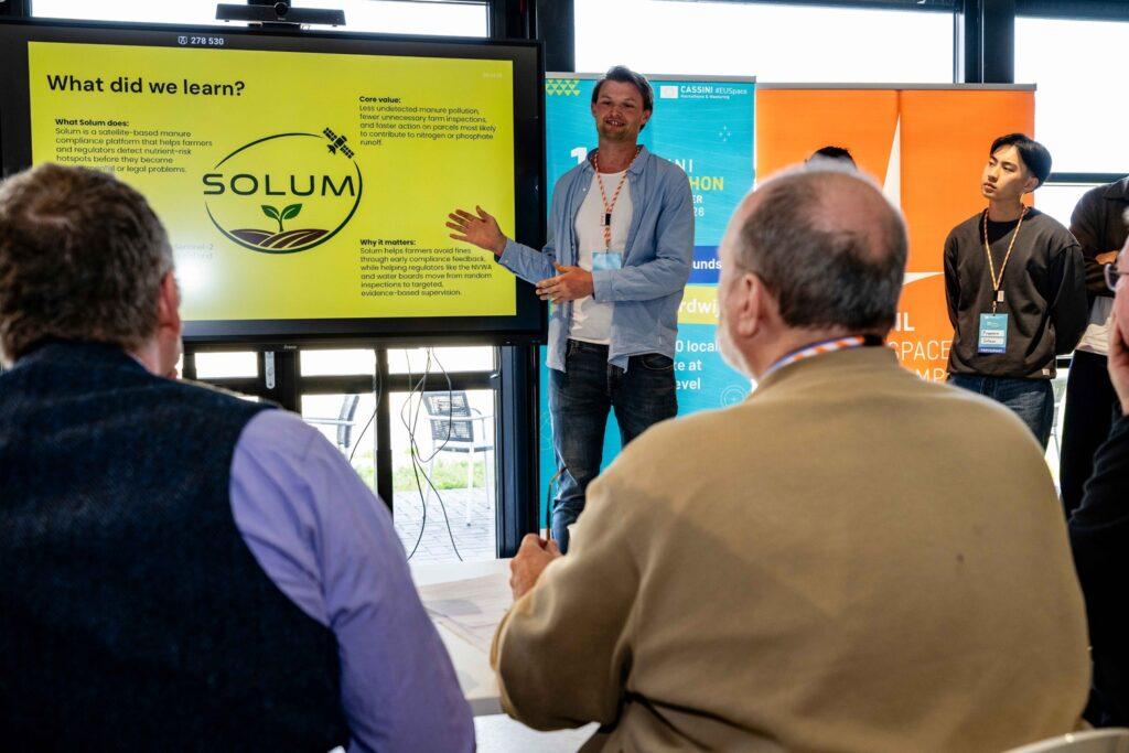
Solum uses Copernicus satellite data, including Sentinel-1 for soil moisture and surface disturbance, Sentinel-2 for vegetation and soil indicators, HRL Water and Wetness layers, and the Copernicus DEM for elevation and runoff modelling, to build a parcel-level risk picture of Dutch farmland. For water authorities, it generates a prioritised inspection list with explanations of why specific areas have been flagged. For farmers, it offers a compliance dashboard with warnings when a field is near water or approaching the nitrogen limit.
“Right now, the Dutch government can only physically inspect about 3% of farms per year, and a significant proportion of those inspected receive fines,” says Francisco. “Our platform helps the government prioritise inspections of the highest risk farms. But critically, it also gives farmers themselves visibility into their own risk profile, so they can address issues before an inspector arrives.”
The decision to develop the platform for both regulators and farmers was made early in the process. “If you only sell it to the government, you create an adversarial dynamic with farmers,” says Thomas. “By giving farmers access to the same data, you build a platform both parties can actually trust.” Ayudh puts the logic simply: “If you want peace, you have to make both sides happy.”
That approach also informs how the team defines the platform’s intended impact. “It doesn’t tell the government ‘go fine this farm’. It helps reduce the overall level of risk so that fewer farms are ever near the threshold,” says Ayudh. “Ideally, the system helps farmers reduce their manure usage in the first place, because the long-term alternative is higher water treatment costs and rising water prices for everyone.” The team has also thought about a certification scheme where farmers who actively follow the standard could display it on their products. “The real ambition is that pollution just stops,” Ayudh says.
Thomas is clear about how they think about farmers in that picture. “Farmers don’t want to pollute. They need to keep their soil fertile, and they’re working within the constraints they have. We want to give them a tool that helps them minimise their environmental impact while keeping their crops healthy.”
During the hackathon
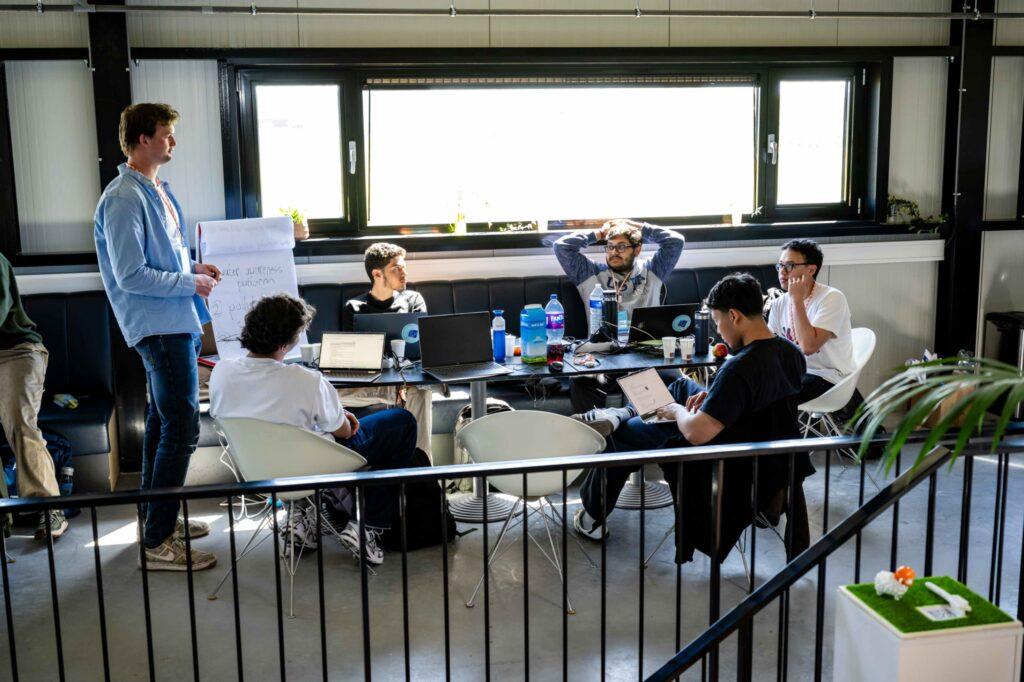
The team spent much of the weekend on ideation, which shaped how the rest of the time was allocated. “I’d argue the most challenging part is whatever your team chooses to prioritise,” says Ayudh. “Difficulty is relative to focus.”
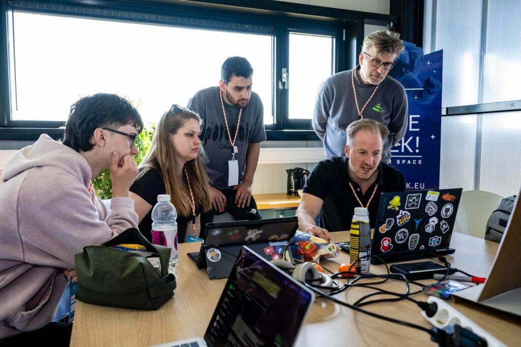
The team only settled on the final concept after a significant portion of the hackathon had already passed. “When someone from the social media team came to film us mid hackathon and asked if we were going to win, we said no outright,” Rafi recalls. “But once the idea clicked and we knew what we were building, everything moved quickly.”
After the hackathon
The team presented at the European Demo Day on 29 April. Much of the feedback focused on potential next steps for the project, including pursuing grants, expanding the list of potential partner organisations beyond NVWA, and considering how the platform could scale. “There may be other bodies that could benefit from this,” says Francisco.
Rafi adds that a recurring point was to develop the product into something more complete as a standalone offering. The team also received a suggestion to look into patenting the methods they are using to identify manure pollution from satellite data.
While the project was framed around the Dutch context during the local round, the underlying issue extends well beyond the Netherlands. Average nitrate concentrations in EU groundwater have not significantly decreased between 2007 and 2023, and current trends suggest the EU’s nutrient reduction targets will be difficult to achieve. “We spent two slides in the European presentation making clear that this is a continental issue,” the team notes.
Development of the project is continuing alongside the team’s academic commitments. “We’re continuing to build out the application in our spare time, polishing it into something closer to the full vision we had during the hackathon,” says Thomas. “After that, we’ll follow up with the contacts we made and gauge their level of interest.”
Much of the development framework is already in place. “A scrum board, a GitHub workflow, a communication channel,” says Ayudh. “We’re pursuing it seriously, just in our free time for now, until we hit a meaningful obstacle.”
The experience also changed how several team members viewed the accessibility of space technologies. For Ayudh, one of the biggest takeaways was that working with Earth observation data proved far more approachable than expected. “When you first hear ‘space data,’ it sounds deeply technical and out of reach. But at the end of the day, it’s API calls. I had completely overestimated how hard it was to work with. The hackathon brought it back to something you can just build with.”
Bringing people, data and expertise together through hackathons
From water pollution and equitable access to water, to disaster risk monitoring, the 11th CASSINI Hackathon challenged participants across Europe to explore how EU space technologies can be applied to pressing water-related issues. Over three days, teams worked with data and services from programmes such as Copernicus and Galileo to develop solutions addressing real-world environmental and societal challenges.
Projects such as Solum demonstrate how Earth observation data can be combined with local datasets and domain expertise to tackle problems that are difficult to monitor through conventional methods alone. While developed during a weekend hackathon, many of these concepts continue beyond the event, supported by mentoring, stakeholder engagement and further technical development.
Beyond the prototypes themselves, the hackathon provided a framework for bringing together students, researchers, developers, public sector organisations and industry representatives around shared challenges. In doing so, it highlighted the growing role of European space infrastructure as a tool for addressing issues on the ground.