Using Copernicus data to detect illegal groundwater extraction: inside Team Well-D’s CASSINI Hackathon project
- HACKATHONS
Kacia Rutkoŭskaja
- 0
- 14 minutes read
Groundwater is one of the world’s most important freshwater resources, supplying nearly half of all drinking water globally and supporting agricultural production across many regions. Yet it is also one of the most difficult resources to monitor. Illegal and unregistered wells can operate for years without detection, contributing to aquifer depletion, environmental degradation and growing water scarcity.
At the Dutch edition of the 11th CASSINI Hackathon, Team Well-D developed a proof-of-concept platform designed to help address this challenge. Combining Copernicus Earth observation data with publicly available infrastructure and environmental datasets, the team created a system that identifies areas where groundwater extraction may be taking place outside official records.
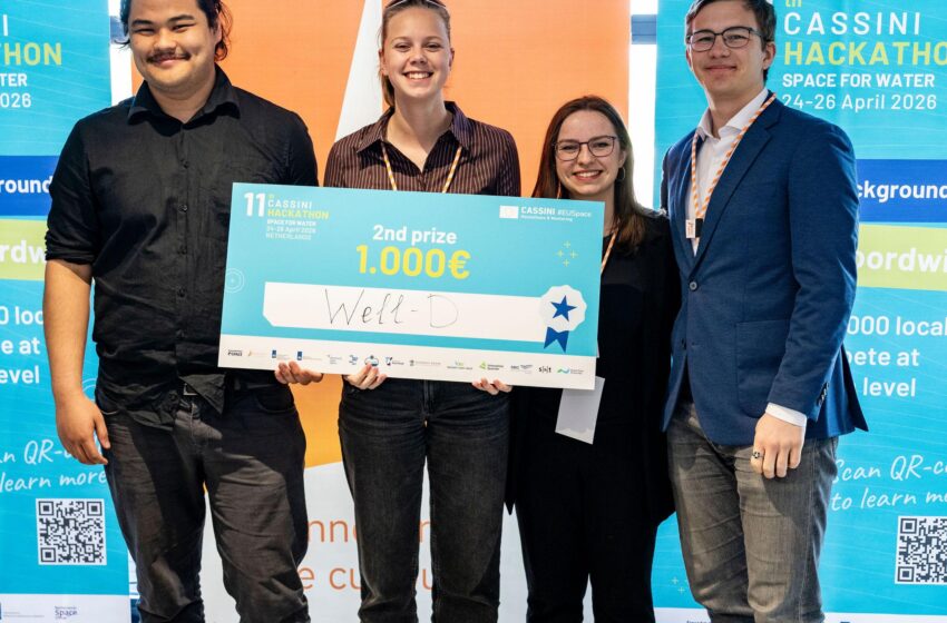
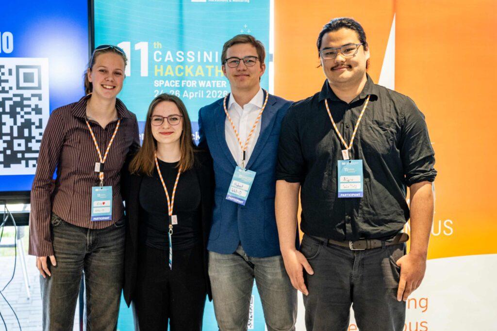
The solution earned the team second place in the Dutch competition. The team consisted of Lauren Jordan, Hubert Hakk, Alexander de Jong and Evy van Harmelen, all students at TU Delft. While their academic backgrounds span aerospace engineering, applied earth sciences and biomedical engineering, the hackathon marked a first hackathon experience for all four participants.
The hackathon took place from 24 to 26 April at CometLab, NL Space Campus in Noordwijk, and was one of ten simultaneous national editions held across Europe. Participants in Austria, Bulgaria, Hungary, Italy, North Macedonia, Norway, Poland, Romania, Spain and the Netherlands tackled water-related challenges using European space technologies. The competition was organised around three themes: securing equitable and efficient access to water, tracking and preventing water pollution, and disaster risk monitoring. Well-D competed in Challenge #1, Securing Equitable and Efficient Access to Water. Over three days, teams of students, developers, researchers and entrepreneurs developed and pitched ideas using Copernicus satellite data alongside national and local datasets. The Dutch event was organised by a consortium led by dotSPACE Foundation, together with NL Space Campus, Rijkswaterstaat and NVWA.
The problem they wanted to solve
The idea for Well-D emerged from a challenge familiar to some members of the team. Alexander de Jong and Evy van Harmelen were aware of the growing pressures on water resources in Spain, where groundwater overexploitation has become a significant environmental and economic concern.
Spain is estimated to have more than one million illegal wells, many of which are used to support agricultural irrigation in water-stressed regions. Because these wells operate outside official registries, authorities often struggle to assess the true scale of groundwater extraction and its impact on aquifers.
The team focused on the Segura River Basin in south-eastern Spain, a region that combines intensive agricultural activity with increasing water scarcity. In some parts of the basin, illegal extraction has been estimated to account for as much as 45% of groundwater abstraction, making it difficult for authorities to accurately assess aquifer conditions and plan sustainable water use.
“The problem with illegal wells is that they are difficult to detect using traditional methods,” the team explains. Monitoring often relies on local reporting and physical inspections, both of which require significant time and resources.
Rather than attempting to monitor individual wells directly, the team looked for indirect indicators that could reveal where groundwater extraction might be occurring.
Building Well-D
The team’s goal was to identify a problem that had not yet been widely addressed through Earth observation technologies.
“We wanted to find a solution to a problem that hadn’t really been solved using remote sensing before,” they explain.
The resulting concept combines multiple sources of information. Sentinel-1 radar interferometry can be used to detect ground subsidence associated with aquifer depletion, while Sentinel-2 imagery provides information about vegetation and irrigation activity. These datasets are then compared with legal well registries and other publicly available information to identify areas where observed environmental patterns do not match recorded extraction infrastructure.
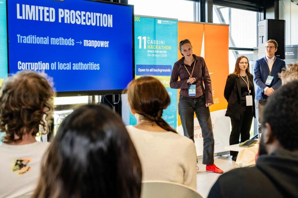
The output is presented through a dashboard that allows users to visualise estimated illegal well locations alongside supporting indicators such as subsidence rates, irrigation probabilities and legal well databases.
The intended users include government agencies, consultancies and environmental organisations seeking to prioritise investigations and better understand groundwater use across large areas.
Preparing for a first hackathon
Although none of the team members had participated in a hackathon before, they did not arrive unprepared.
Lauren first discovered the CASSINI Hackathon through LinkedIn and communications within TU Delft’s aerospace faculty. Having an existing interest in Earth observation, she reached out to Alex, who was already active in remote sensing research, and later brought Hubert and Evy into the team.
In the weeks leading up to the event, the group studied previous hackathon winners and sought advice from others who had participated before.
“We looked at what had worked in previous years and tried to understand not only the technical side but also how to build a viable business model,” the team recalls.
The preparation proved valuable. While Alex focused on the technical aspects of the solution and Earth observation workflows, Hubert and Evy concentrated on developing the business case and identifying potential users. That combination helped the team move quickly once the hackathon began.
Learning from mentors and Earth observation experts
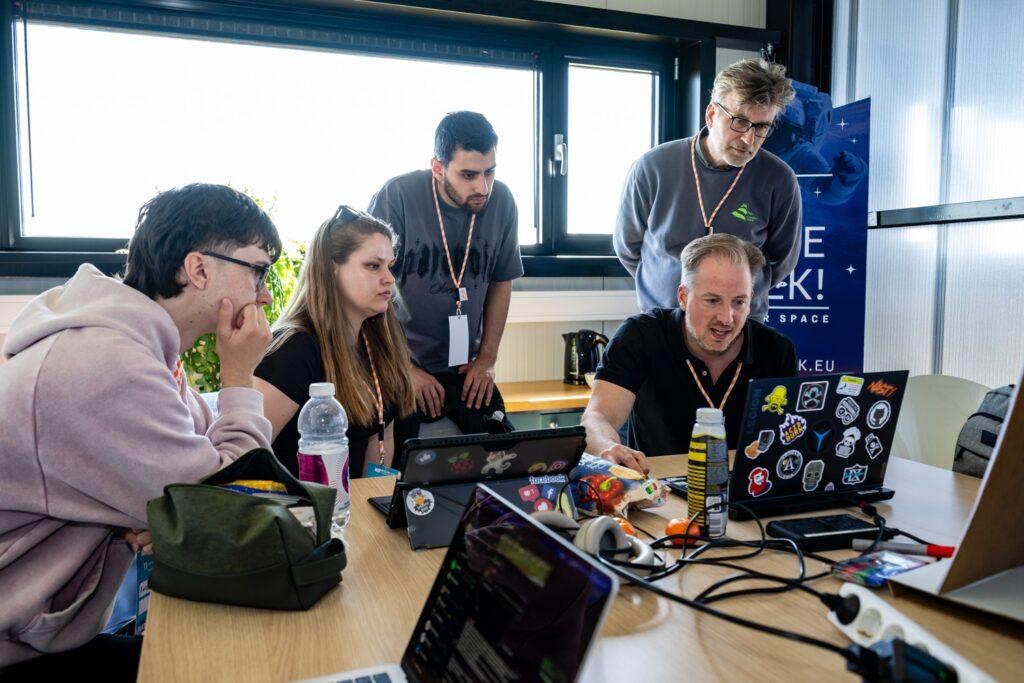
Like many participants, the team found that mentor feedback became one of the most valuable parts of the weekend.
“The mentors were extremely helpful,” says Lauren. “Some of the ideas that became part of the final solution actually came from discussions we had during the hackathon.”
The experience also exposed team members to aspects of Earth observation they had not encountered before. Lauren entered the event specifically hoping to learn how to work with Earth observation data and gained hands-on experience with Sentinel-2 imagery for the first time.
For Hubert, whose studies focus on aerospace structural engineering rather than Earth observation, one of the most surprising discoveries was the ability to measure ground movement using satellite radar observations.
He describes the ability to detect ground sinking with millimetre-level accuracy from space as something that initially felt almost “sci-fi”.
Several team members were also surprised by the resolution and accessibility of Copernicus data. Sentinel-2 imagery, for example, can provide observations at resolutions of up to 10 metres, allowing users to monitor changes in vegetation and land use at a highly detailed level.
The ability to combine satellite observations with open-source datasets from governments and research institutions was another important takeaway. For the team, this demonstrated how Earth observation can support practical decision-making on issues that extend far beyond the space sector itself.
Beyond the hackathon
One of the strongest impressions the hackathon left on the team was the importance of combining technical innovation with a realistic implementation strategy.
“A good technical idea is not enough on its own,” Lauren says. “You also need a strong business case.”
This perspective was reinforced throughout the weekend as mentors challenged teams to think not only about how their solutions worked, but also who would use them and why.
The team also highlighted the broader benefits of participating in a hackathon environment, including networking opportunities, exposure to new perspectives and the development of transferable skills such as coding, communication and collaborative problem solving.
Unlike many hackathon projects that end after the final pitch, Well-D continued to evolve beyond the competition. Following discussions with mentors, Lauren and Alex continued refining the technical concept and exploring how the methodology could be further developed.
As part of this effort, they prepared an abstract titled Detecting Unregistered Groundwater Abstraction Using Satellite Data Inconsistencies. The work expanded on the original hackathon concept by investigating how Sentinel-1 radar interferometry, Sentinel-2 observations, machine learning techniques and complementary environmental datasets could be combined to identify indicators of undocumented groundwater abstraction.
While the original hackathon project focused on Spain’s Segura River Basin, the proposed methodology was also explored through a second case study in the Moradabad region of India. By examining two regions with different environmental and socio-economic conditions, the team sought to better understand how the approach could be applied across a wider range of groundwater management challenges.
Although the work remains at an early stage, the follow-up research reflects the team’s interest in further validating and refining the concept beyond the hackathon environment.
The experience also broadened the team’s perspective on the role of space technologies in addressing societal challenges.
Before the hackathon, several members viewed Earth observation primarily as a technical field. By the end of the event, they had gained a clearer understanding of how satellite data can contribute to addressing challenges related to climate change, water management and environmental protection.
Bringing people, data and expertise together through hackathons
From water pollution and equitable access to water, to disaster risk monitoring, the 11th CASSINI Hackathon challenged participants across Europe to explore how EU space technologies can be applied to pressing water-related issues. Over three days, teams worked with data and services from programmes such as Copernicus and Galileo to develop solutions addressing real-world environmental and societal challenges.
Projects such as Well-D demonstrate how Earth observation can help make previously invisible challenges more visible. By combining satellite observations with publicly available environmental and infrastructure data, the team explored new ways of identifying potential groundwater overexploitation and supporting more informed decision-making.
Beyond the solutions themselves, the hackathon provided an opportunity for students, researchers, developers and domain experts to collaborate across disciplines, learn from one another and discover new applications for European space technologies. In doing so, it highlighted the growing role of Earth observation as a tool for addressing environmental challenges on the ground.
Photo credit: Arend Jan Hermsen, Par-pa fotografie