ACCWA: Shaping the future of Mediterranean agriculture
- Agriculture Earth
Kacia Rutkoŭskaja
- 0
- 7 minutes read
The H2020 ACCWA project has designed and implemented new methodologies to monitor water use, crop yield and climate hazards from remote sensing data. This information will improve the reliability of decision-making in agriculture, helping quantify and prevent the impact of climate change and reinforcing Mediterranean agro-food value chains.
The H2020 ACCWA project (Accounting for Climate Change in Water and Agriculture management) has developed monitoring and management tools that will help the Mediterranean agriculture adapt to the impacts of climate change. The project team is composed of eleven EO experts from seven different countries (isardSAT, CIRAD, IRD, IRTA, LabFerrer, AGRHYMET, Observatori de l’Ebre, UCAM, UCAR, CEPAVE (Conicet-UNLP), FOOD QUALITY).
The Mediterranean Agriculture, Under the Pressure of New Climate Conditions
The Mediterranean is one of the regions most sensitive to climate change, facing rising temperatures, shifting rainfall patterns, and more frequent extreme weather events. These changes will increase crop water needs while reducing soil moisture, putting rain-fed agriculture at high risk of lower yields and poorer quality. The region is already seeing more erratic rainfall, leading to longer droughts and more intense storms. This makes water management even more challenging in an area already struggling with scarcity. To adapt, agriculture must evolve by changing crop strategies and adopting advanced water management practices and technologies.
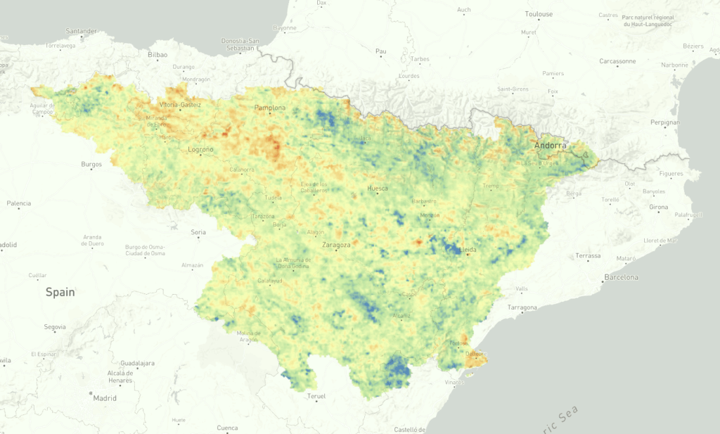
Soil Moisture and Drought Index over the Ebro basin
One of the main outputs of the project is the online drought monitoring tool, which provides the Anomaly of Surface Soil Moisture (also known as a drought index) for the Ebre basin (Spain). As the project research demonstrates, analysing the moisture on the soil surface is a critical indicator of changes in vegetation and productivity.
This soil moisture product provides weekly data of the soil moisture state over the Ebre River basin at a 1 km resolution, and it is scalable anywhere in the globe. “Research during the project has demonstrated how the values of soil moisture three months before the harvest are indicative of the final yield”, explains Maria José Escorihuela, Principal Investigator of the project. The ACCWA team used different sources of Earth Observation data, mostly from European Space Agency Copernicus Program, such as Sentinel-2 and Sentinel-3, or Earth Explorer missions like SMOS. NASA missions such as SMAP, MODIS, and LandSat have also been explored.
Innovative Agriculture Management Tools
The ACCWA team has developed remote sensing-based tools that improve the reliability of decision-making regarding water use, yield, and hazard prediction in agriculture.
Specifically:
- Tools to improve water use allow to estimate irrigation amounts used, irrigations systems in use, and early crop classification.
- Tools to monitor drought allow us to accurately monitor meteorological, agronomic and hydrological drought.
- Tools to forecast crop yields and predict locust presence.
New Validated Algorithms
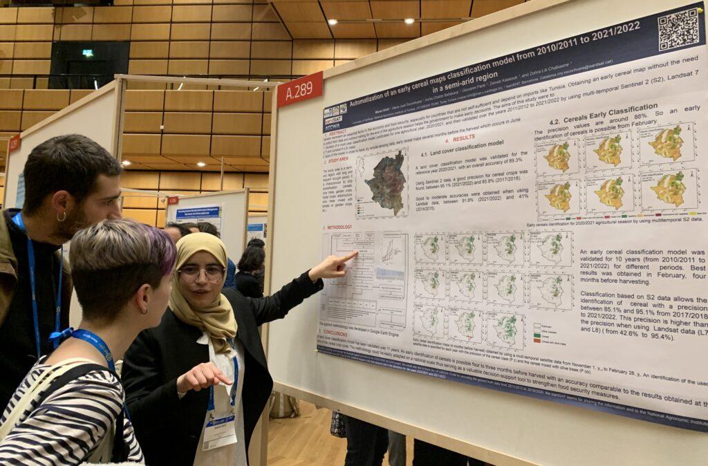
conferences. © isardSAT
Innovative algorithms to retrieve soil moisture, evapotranspiration, and characterise vegetation status from EO data have also been developed, implemented and validated. This algorithms have been validated through several intensive field campaigns, carried out by the ACCWA team throughout the project, which have left an important network of in situ stations for future research.
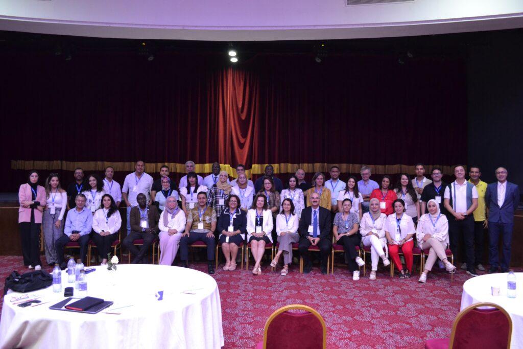
During five years, ACCWA has built and consolidated a network for inter-sectorial knowledge sharing and long-term collaboration in the field of remote sensing applications for water resources and agriculture management. This project received funding from the European Union’s H2020 research and innovation programme under grant agreement 823965.
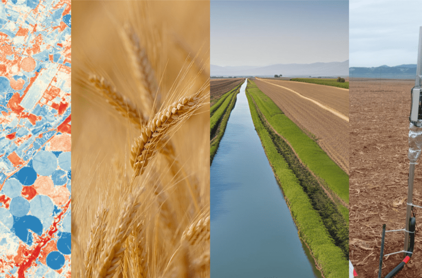
Featured image: ACCWA has advanced the research in soil moisture mapping, yield prediction, and irrigation management tools, combined and validated with in situ data. © isardSAT