This summer, the Copernicus Emergency Management Service (CEMS) celebrated a decade of operation as a world leader in emergency mapping, early warning tools and open-access disaster information. For the past ten years, Copernicus CEMS has Read More
Space data applications for disaster and emergency management
Featured Image by wirestock on Freepik One of the biggest challenges of climate change is water-related. Flooding of cities is a natural hazard that occurs in many countries worldwide, generating economic, material and human loss. Read More
The rise in population in the last 100 years has led to a rapid expansion of the world’s cities. As a consequence, there are big infrastructure developments and construction projects, leading to urban change, Read More
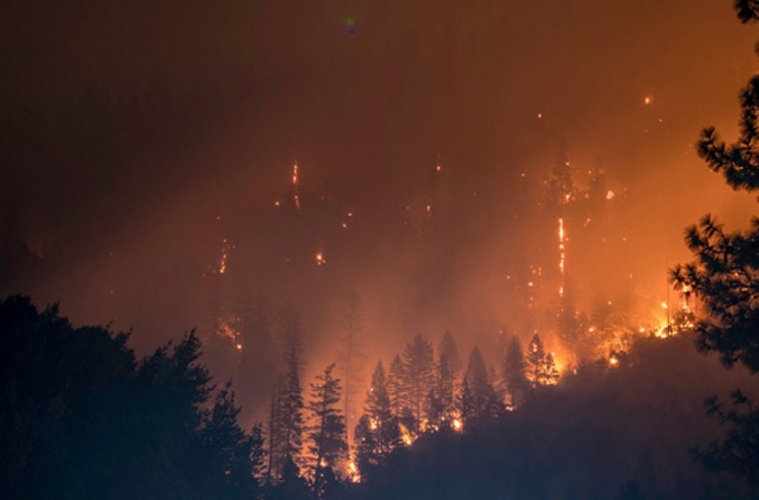
Spring and summer are the peak seasons for wildfires. Its consequences can be devastating, ranging from significant loss of forest areas and risks to residential areas, to animal deaths and severe air pollution. One of Read More
Today Groundstation.Space is present at the grand opening of the new Wildlife Forensic Academy in Buffelsfontein, South Africa. The Wildlife Forensic Academy is a state-of-the-art forensic training platform to protect and preserve wildlife around Read More
Since the beginning of the invasion of Russian troops we have been writing about the use of satellite data to support the people of Ukraine. From a list of companies that provide satellite imagery, to Read More
Straight from the beginning of the invasion of Russian troops in Ukraine we talked about the use of satellite data for information about the situation on the ground. Disaster monitoring and management has long been Read More
Earlier this week, Russian forces fired artillery shells at a maternity unit and a children’s hospital in Mariupol, Ukraine. Previously, multiple sources indicated that more healthcare facilities had been bombed. International humanitarian law, as Read More
Sometimes an underwater volcano can do in a few hours what satellite applications outreach professionals try to do in months, or even years. Last Saturday’s massive underwater volcano explosion put satellite images on all Read More
Scientists in the Copernicus Atmosphere Monitoring Service have been keeping a close watch on wildfire emissions and their impacts on the atmosphere around the world throughout 2021. The service uses satellite observations of active Read More


