SAR for change detection in Mariupol
- Technology Ukraine
Gabriela Quintana Sánchez
- 0
- 8 minutes read
Synthetic Aperture Radar (SAR) from space is particularly well suited for change detection on the ground. With its ability to look through clouds and darkness, SAR remote sensing consistently produces high quality, well calibrated imagery with good geolocation accuracy.
This article is part of our series on SAR space data applications and our series on the use of space resources in support of the people of Ukraine.
In previous articles we learned about change detection techniques. These techniques detect changes between two or more images of the same area, taken on different moments. A lot has been published about change detection methods and applications, and the remote sensing industry is finding new applications every day.

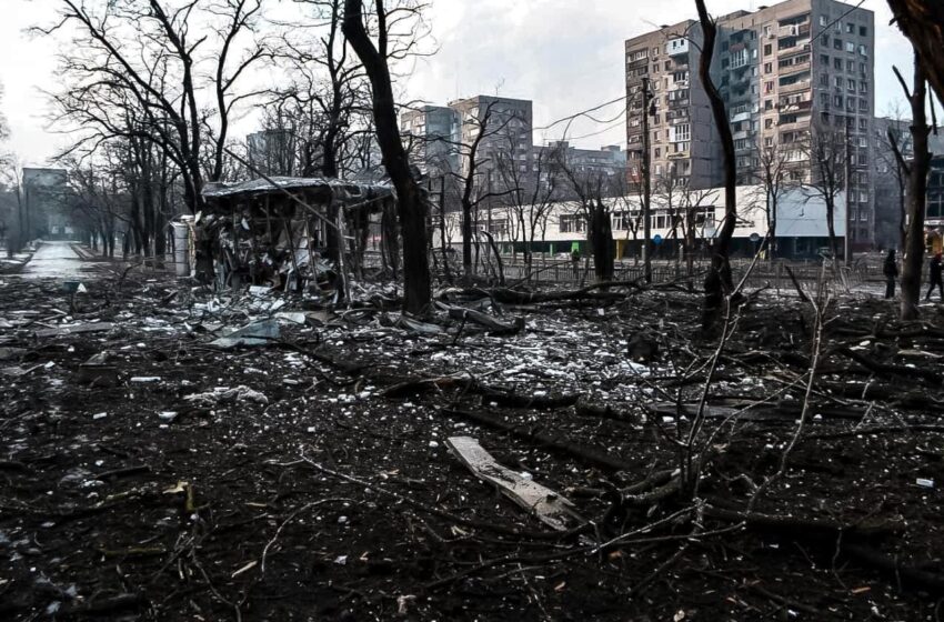
An important application of SAR-based change detection is the monitoring of damage caused by war, like the ongoing situation in Ukraine. In this article we will look at an example of this in the city of Mariupol, Ukraine, which unfortunately has been subject to a lot of war damage by Russian attacks.
Change detection in Mariupol
Step 1 – Selecting and pre-processing the data
We selected two Sentinel-1A images of Mariupol, taken on 11 January and 16 June 2022, and used the new ESA SNAP 9.0 software to analyse the changes between these two dates.
We selected the images as level-1 Ground Range Detected (GRD) data. This product consists of focused SAR data that has been detected, multi-looked and projected to ground range using an Earth ellipsoid model (more info here).
After selecting the images, each image was pre-processed, following the following steps:
- Calibration – with the objective to determine the image in which the pixel values can be directly related to the radar backscatter of the scene.
- Filtering – with the objective to eliminate speckles (noise) in the scene, which degrade the quality of the image.
- Geometry correction – with the objective to eliminate distortions so that the geometric representation of the image will be as close as possible to the real world.
Step 2 – Post-processing the data
Once the selected images have been pre-processed, they can be merged for the change detection analysis. This is done as follows:
- Overlaying of the images – In this step the second image (taken on 22 June) is resampled using the geographical raster of the reference image (taken on 11 January).
- Change detection – This is an automated comparison of the two images, based on likelihood decision statistics. The sample coherence and mean backscatter ratio statistics are obtained by evaluating the particular decision statistics of the scene, applying a threshold to the decision statistics map and assigning values to either changed or unchanged pixels.
Step 3 – Analysing and presenting the results
The following image is a combination multitemporal in red-green-blue channels. In the red channel we see the image from 16 June, in the green channel the image from 11 January. The blue channel then shows the detected change, obtaining an image in false colour, where the areas in red show us the variation or alteration in the zones between the two dates. So the red areas indicate altered (in this case mostly destroyed) buildings, but also shows differences in crops in fields (between winter and summer).

Verifying results
The changes observed can be compared with optical images taken from Google Maps or others platforms, like a form of fast validation (see the following images). In this case we can observe alterations southward of the Kalmius River, which is the Azovstal Plant terrain, an area of heavy fighting. Similarly, in the SAR change detection image we can spot other areas in the city impacted by the war.

This was a rapid example of how SAR-based change detection can help identify damage in Mariupol in Ukraine, which can be helpful for disaster relief activities or war crime prosecutions.
This technique allows us to quantify damage to infrastructure, estimate numbers of displaced people, support relief organisations and even estimate likely locations of people in need. SAR is an important instrument in the disaster relief toolkit!
Read more
Series: Space data in support of Ukraine
Series: SAR remote sensing