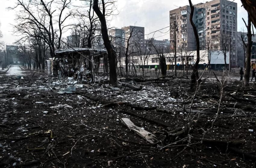
Eight months into the war in Ukraine and we continue to see widespread destruction of lives and infrastructure, more than 7.7 million Ukrainians fleeing their country, and a third of the population displaced. In addition, there Read More

Eight months into the war in Ukraine and we continue to see widespread destruction of lives and infrastructure, more than 7.7 million Ukrainians fleeing their country, and a third of the population displaced. In addition, there Read More

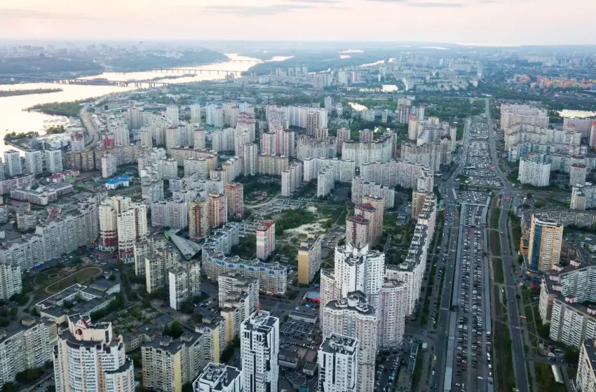
Featured image by vwalakte on Freepik One of the United Nations Sustainable Development Goals is SDG 11: “Make cities and human settlements inclusive, safe, resilient and sustainable”. Earth Observation (EO) data provides the data about cities Read More
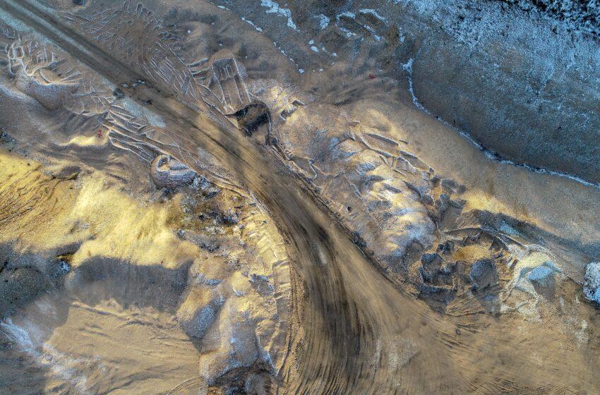
Featured image by wirestock on Freepik SAR remote sensing methods have evolved to be among the most useful monitoring techniques in modern mining. This article describes some of the newest technologies for keeping mines safe Read More
Synthetic Aperture Radar (SAR) from space is particularly well suited for change detection on the ground. With its ability to look through clouds and darkness, SAR remote sensing consistently produces high quality, well calibrated imagery Read More
Synthetic Aperture Radar (SAR) imaging from space is in its golden age. With an increasing number of space-based SAR sensors in operation, and an increasingly growing temporal and spatial resolution, combined with the characteristics of Read More

Featured Image Credit: Bioscope Agriculture is one of the key application areas of satellite data. We have all heard about precision farming using satellite navigation signals and a large array of Earth Observation techniques that Read More

Radar satellite imagery (SAR) offers great opportunities for assisting humanitarian operations during war, offering support to displaced people in their own and in hosting countries, like the current situation in Ukraine. It helps relief organizations Read More
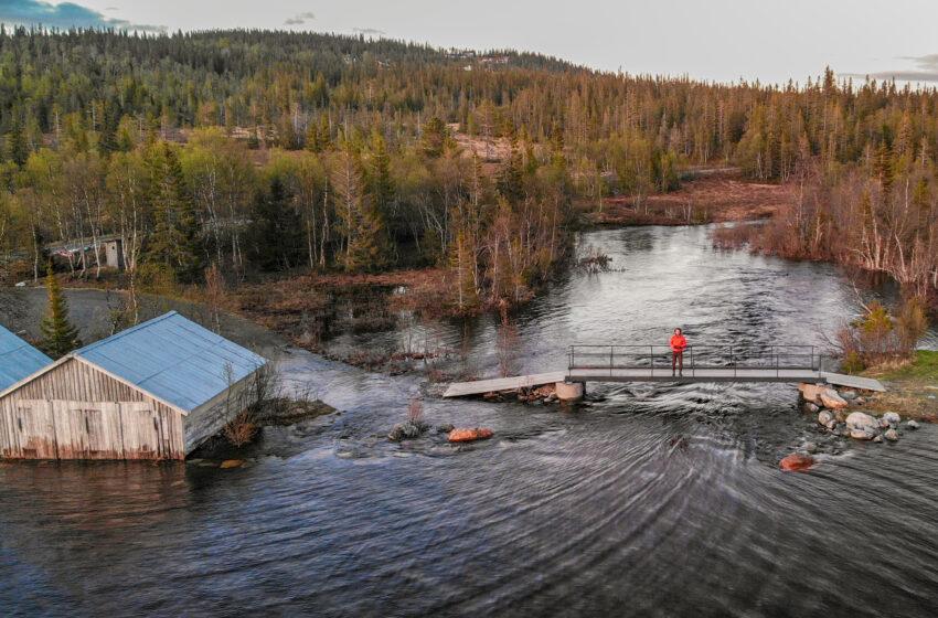
Featured Image by wirestock on Freepik One of the biggest challenges of climate change is water-related. Flooding of cities is a natural hazard that occurs in many countries worldwide, generating economic, material and human loss. Read More
The rise in population in the last 100 years has led to a rapid expansion of the world’s cities. As a consequence, there are big infrastructure developments and construction projects, leading to urban change, Read More

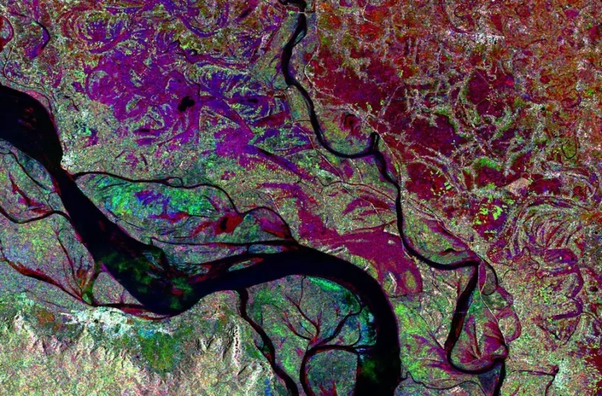
The interpretation of Synthetic Aperture Radar (SAR) satellite images involves the identification and measurement of targets in a radar image. This radar image is the result of extensive data processing, including calibration, geometric, and radiometric Read More

© 2023, dotSPACE Foundation - All rights reserved.