When Space Meets Place: What It Really Takes to Turn Satellite Data Into City Infrastructure
- Industry NLSpace
Andrei Bocin-Dumitriu
- 0
- 9 minutes read

© Feike Faase Fotografie
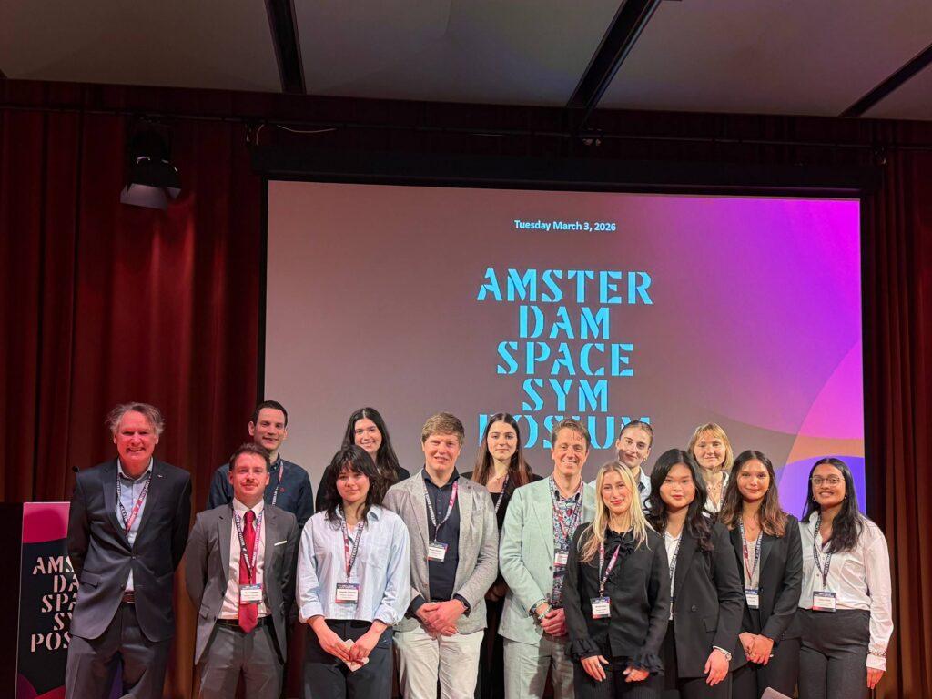
Amsterdam Space Symposium 2026 | Space for Climate Track | 3 March 2026
The Beurs van Berlage doesn’t do things quietly, and neither did the “When Space Meets Place” workshop on Tuesday afternoon. What was billed as a session on co-creation for critical infrastructure turned into one of the more honest conversations of the symposium: frank about what’s working, equally frank about what isn’t.
The Netherlands Space Agency (NLSA), the City of Amsterdam, and a panel of service providers — Sandy Nijhuis, Coco Antonissen (NLSA), Weiyi Ding (City of Amsterdam), Alexander Blauw (Orbitale Eye), and Reinier Oost (Sensar) — spent an hour pulling apart a deceptively simple question: if the satellite data is already good enough, why isn’t it being used at scale?

The data isn’t the bottleneck
That was probably the clearest signal from the room. InSAR-based deformation monitoring, for instance, has been technically mature for decades. Amsterdam is already using it — tracking which quay walls are subsiding fastest, flagging bridges that need priority inspection, identifying buildings showing rapid settlement. The physics is solid. The measurements are reliable.
The gap is everything that comes after the measurement.
The Amsterdam perspective was concrete: the engineering department doesn’t need a better sensor. It needs to know which assets to prioritise — because renovation cycles run two to three years, budgets can’t cover everything at once, and the triage decision has to happen before the design process starts. Satellite insight is useful precisely when it feeds that kind of workflow. When it doesn’t — when it arrives as a data product rather than a decision input — it tends to sit unused.
Rethinking what “critical infrastructure” means
One of the more useful reframes of the session was about scope. Critical infrastructure, the panel argued, is expanding — not just roads, bridges, and quay walls, but urban green, energy transition assets, and water systems. Each of those brings different users, different accountability structures, and different output requirements.
A city architect working on neighbourhood design might just want a 2D canopy cover map — generated from near-infrared satellite imagery, but experienced simply as a useful layer. They’re not interested in InSAR or multispectral bands; they want a tool that helps them do their job. An asset manager might need a ranked anomaly list, not a dashboard. A field inspector needs “where to go tomorrow,” not a satellite explainer.
The practical implication: stop selling the data source. Start from the user’s task. If they feel they’re being handed a space product, adoption slows. If they feel they’re being handed a tool that fits their workflow, it accelerates.
Three barriers that kept coming up
The panel wasn’t short of examples, and three themes recurred across all of them.
Regulation that lags behind capability. Some monitoring requirements still prescribe specific methods — aerial photography, in-situ measurement — even where satellite screening would be faster, cheaper, and sufficient for triage. The consensus was blunt: regulation doesn’t change itself. Industry has to educate regulators, demonstrate equivalence, and build the evidence base. One speaker noted that in countries with fewer regulations, innovation lands five years earlier. That’s not an argument for no regulation — it’s an argument for keeping it current.
Organisational culture. This one came up repeatedly, and with some rueful humour. Large organisations — particularly those with centuries of operational history — have deep grooves. When you deliver a new data product and the asset managers at the back of the room say “nice, but that’s not my cable” and walk out, you haven’t failed technically. You’ve hit a culture problem. One service provider described hiring a large interactive table so users could literally point at their own assets in the data. The insight: adoption is often more psychology than technology.
Procurement that doesn’t fit the product. Even after a successful pilot, teams often can’t answer the procurement question: what exactly are we buying — data, analytics, a decision-support service, an operational outcome? Without a clear answer, programmes stall between pilots. The session was pretty emphatic that treating procurement as a product design problem — not an afterthought — is part of building a real solution.
The business case problem (and a bridge story)
There was a telling moment late in the session. One speaker described a bridge replacement project where satellite monitoring revealed unexpected ground motion that the new design hadn’t accounted for. The team went back to the drawing table. A costly mistake was avoided. The business case was immediate and concrete.
The punchline: nobody published it. The project team moved on. Their colleagues never heard the story. And so the organisation didn’t update its standard practice.
This, the panel suggested, is one of the more fixable problems in the sector. Public teams don’t systematically share success stories the way they share technical results. But if the goal is to move from pilot-to-pilot cycles to embedded operational practice, the narrative infrastructure matters as much as the technical one.
The broader point about business cases: satellite data rarely wins the cost comparison on a single object. It wins at portfolio scale — screening thousands of assets, directing inspectors only where signals point, building risk-based maintenance plans. “Think big” isn’t a slogan; it’s the actual business model.
The NLSA co-creation experiment
NLSA presented its “Space for Cities” Pre-Commercial Procurement project, which ran from 140 initial applicants down to ten finalist suppliers — covering everything from infrastructure deformation monitoring to biodiversity mapping, 3D urban planning, and wildfire risk. Four cities are now entering pilot phases, with further cities to follow.
The project’s explicit goal is to close the gap between space technology and public sector workflows — not by pushing satellite products into cities, but by building the tools that city users actually need. Whether the procurement pathways survive the pilot phase will be the real test.
What the room took away
The session’s implicit challenge to attendees — many of them working in EO, government, or both — was fairly direct: if we want scaling, the work isn’t primarily technical anymore. It’s workflow design, procurement strategy, organisational change, and business case communication.
That’s a less glamorous pitch than “satellites can see everything.” But it’s probably closer to the actual problem.