Imagery is a powerful way to convey a message and Earth observation has become an easily accessible tool to illustrate environmental and climate change-related challenges.
The European Union’s Copernicus Programme provides a wealth of satellite data and geospatial products on a full, free, and open basis for journalists and data visualisation enthusiasts.
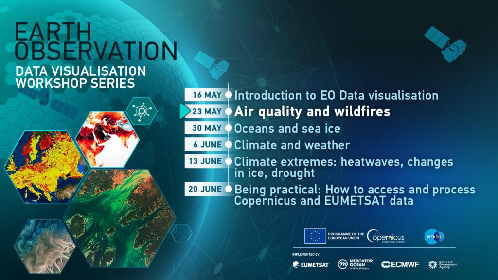
EUMETSAT is hosting a series of short online workshops on Earth observation and Copernicus data visualisation, suitable for attendees with diverse backgrounds.
The workshop series includes high-level testimonials, case studies, and practical examples to help attendees gain a comprehensive understanding of how to use data visualisation to communicate complex information to a broad audience.
This second workshop (May, 23rd, 14:00 to 16:00 CEST) will discuss using EO data to communicate air quality data to the public and visualising data from the Copernicus Atmosphere Monitoring Service (CAMS) visualisation to engage a broad audience.
Panellists:
- General Introduction, Federico Fierli (EUMETSAT)
- Storytelling with EO on Air Quality, Cathy Clerbaux (CNRS)
- Bringing Air Quality to the Public, Mark Parrington (ECMWF)
- The step ahead of Sentinel-5P, Claus Zehner (ESA)
- Visualise volcanic eruptions and dust, Simon Proud (Oxford University)
- Practical Example: Visualising Copernicus Atmosphere Monitoring Service and Sentinel data on Dust & Wildfires, Dr Julia Wagemann (Independent Consultant)