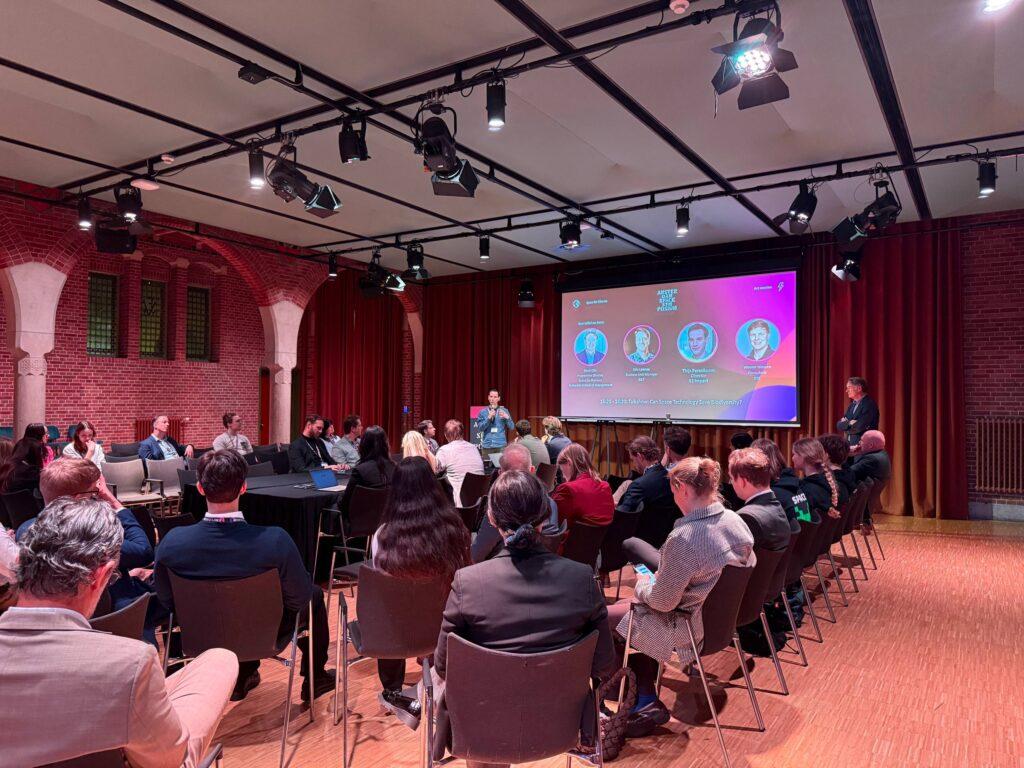
Students, industry and policymakers discuss using space data to address deforestation at the Amsterdam Space Symposium
- Earth Industry
Kacia Rutkoŭskaja
- 0
- 7 minutes read
Satellite systems can already detect deforestation almost anywhere on Earth. But turning those observations into enforceable regulation is far more complicated.
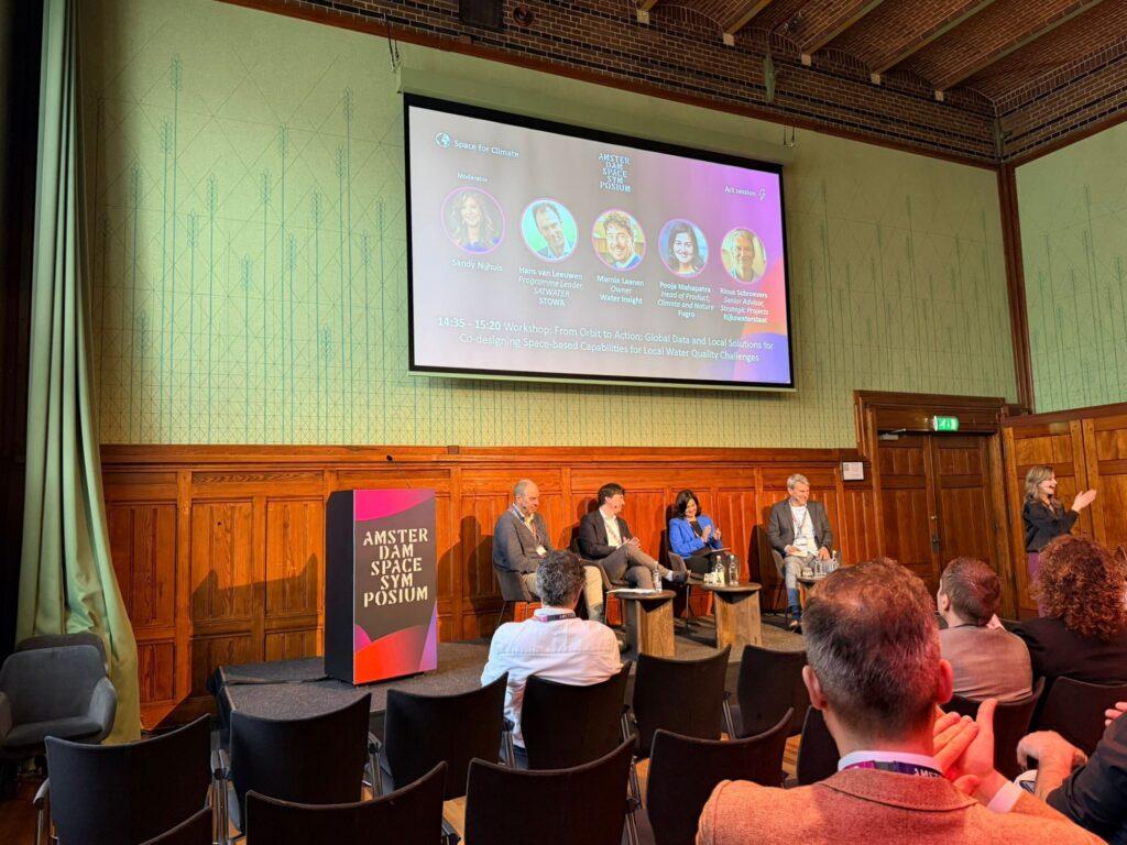
This challenge formed the starting point of two talk show sessions at the Amsterdam Space Symposium, where honours students from Rotterdam School of Management presented research examining how Earth observation could support the implementation of the EU Deforestation Regulation (EUDR). Their findings prompted a discussion with participants from industry, policy and academia about the practical role of satellite data in monitoring global supply chains and preventing deforestation.
Experts from organisations working on satellite data analysis, supply chain monitoring and environmental impact assessment joined the conversation together with students and audience participants. The discussion explored how Earth observation technologies, policy instruments and market incentives could contribute to efforts aimed at reducing deforestation and protecting biodiversity.
A central focus of the discussion was the EU Deforestation Regulation, which requires companies placing certain commodities on the European market to demonstrate that their products are not linked to deforestation after December 2020. Participants examined how satellite data, traceability systems and regulatory enforcement could contribute to monitoring compliance across global commodity supply chains.
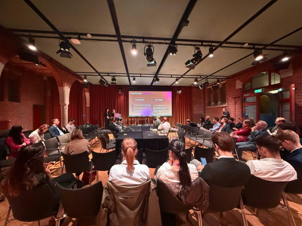
Students analyse the deforestation challenge in global commodity chains
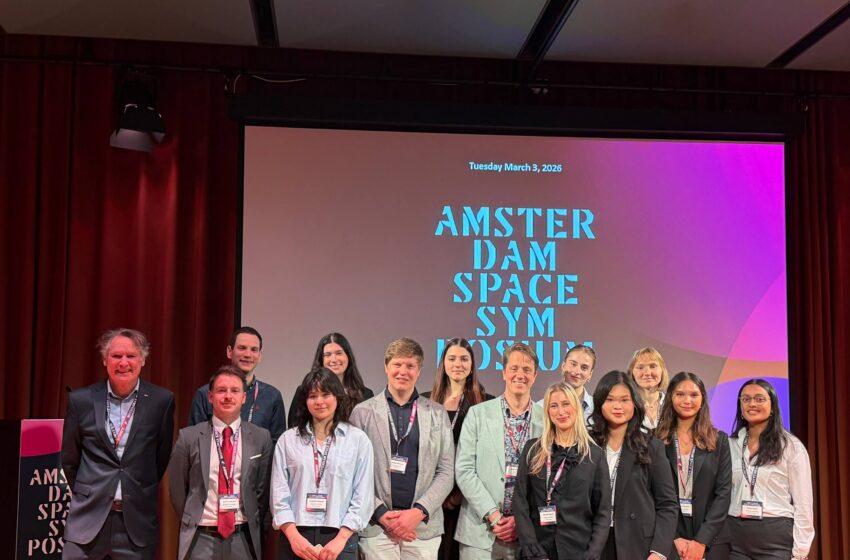
Unlike traditional conference panels, the talk shows were built around student research.
The session centred on projects developed by honours students from Rotterdam School of Management, who had spent several months examining potential business cases for Earth observation technologies in the context of the EUDR.
Their research explored how satellite data could be used to detect deforestation and verify the origin of commodities entering the European market. One of the case studies focused on the global rubber supply chain — an industry characterised by large numbers of small producers and multiple layers of aggregation before products reach international markets.
The students highlighted a key challenge: while satellite systems can detect forest loss with increasing accuracy, linking those observations to specific production plots within a supply chain remains difficult. In commodities such as rubber or soy, products from many farms are often aggregated early in the supply chain, making it difficult to trace individual shipments back to their original source.
The teams presented technical approaches combining satellite imagery, machine-learning analysis and traceability systems to identify areas where deforestation may have occurred. At the same time, their analysis suggested that technological capability alone does not guarantee effective regulation.
Technology available, implementation more complex
A recurring theme throughout the discussion was the gap between technological capability and practical implementation.
Satellite data can already detect large-scale land-use change and forest loss, and Earth observation services are widely used to monitor environmental impacts. However, integrating these observations into supply-chain verification systems and regulatory enforcement remains complex.
Participants pointed to several challenges, including fragmented supply chains, differences in regulatory implementation between countries and the difficulty of linking satellite observations with supply-chain documentation.
The role of national authorities responsible for enforcing the EU Deforestation Regulation within EU Member States was also discussed. Satellite monitoring could help authorities identify potential risks and focus inspections, but effective enforcement still requires coordination between companies, regulators and organisations working on the ground.
Across the discussion, one point repeatedly emerged: the technology to monitor deforestation from space largely exists, but turning that capability into an effective regulatory tool requires cooperation across multiple actors.
A platform for dialogue between industry, policy and academia
The talk shows were designed as an interactive format bringing together representatives from industry, policy and academia, with students at the centre of the conversation.
The research projects were developed through collaboration between universities and industry partners involved in the symposium programme. Students interviewed companies, policymakers and organisations working on supply-chain monitoring, satellite data analysis and environmental governance.
Presenting their findings in front of industry experts and policymakers turned the session into a live test of the ideas developed during the project. The discussion that followed explored both the opportunities and the limitations of using space technologies to support environmental regulation.
A more detailed slide-doc summarising the research and stakeholder interviews is available below.
Earth Observation and Traceability for EUDR Compliance: Rubber Supply Chain Case
Traceability and Compliance Challenges under EUDR: The Soy Supply Chain