Space-based observations meet climate policy at the Amsterdam Space Symposium
- Earth NLSpace
Kacia Rutkoŭskaja
- 0
- 8 minutes read
© Feike Faase Fotografie
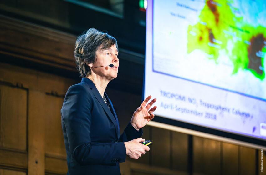
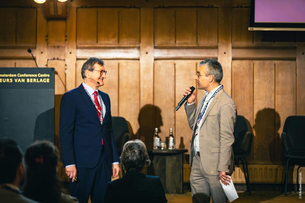
At the Amsterdam Space Symposium, two keynote presentations explored the relationship between European climate policy and the satellite systems used to observe the Earth’s atmosphere. The session opened with Dušan Chrenek, Principal Adviser at the European Commission Directorate-General for Climate Action, followed by atmospheric scientist Pieternel Levelt, Director of Atmospheric Chemistry Observations and Modelling at the NSF National Center for Atmospheric Research and Head of Climate Observations at the Royal Netherlands Meteorological Institute.


Presented consecutively, the two talks addressed related questions from different perspectives: how climate policy is implemented and monitored, and how satellite observations provide information about the composition of the atmosphere.
Climate policy and the need for monitoring
European climate policy includes targets for reducing greenhouse gas emissions over the coming decades. Achieving these targets requires the ability to monitor emissions and environmental change across multiple sectors, including energy, transport, industry and agriculture.
Satellite-based Earth observation plays a role in this monitoring. Data derived from space-based measurements contributes to observing greenhouse gas concentrations, tracking environmental changes and supporting climate-related assessments.
During the keynote, observations from the Copernicus Programme were referenced as examples of how satellite data contributes to the understanding of climate trends. Long-term datasets derived from Earth observation systems provide information used by scientists and policymakers when evaluating environmental changes.
From observation systems to policy-relevant data
Reliable climate analysis requires observations that are consistent over long periods of time. Long-term datasets allow researchers to identify trends, compare regions and evaluate whether policy measures correspond with measurable environmental changes.
European Earth observation efforts involve multiple institutions. Programmes and missions are supported by organisations including the European Space Agency, European Centre for Medium-Range Weather Forecasts, and EUMETSAT, which contribute to satellite missions, climate modelling and operational monitoring services.
Satellite observations are also increasingly used to support emerging monitoring needs. Examples include the observation of methane emissions and the use of satellite data in the assessment of carbon-related processes and land-use change.
Measuring atmospheric composition from space
The scientific keynote focused on the instruments used to observe atmospheric composition. Spectrometers such as the Ozone Monitoring Instrument (OMI) and the Tropospheric Monitoring Instrument (TROPOMI) analyse sunlight reflected from the Earth’s atmosphere to retrieve information about trace gases.
The TROPOMI instrument operates on the Sentinel-5P satellite, part of the Copernicus Earth observation programme. The instrument provides daily global measurements of atmospheric constituents including nitrogen dioxide, methane and ozone, together with related atmospheric information such as clouds and aerosols.
These observations allow researchers to examine patterns in atmospheric pollution. For example, nitrogen dioxide concentrations observed from space often correspond with regions that have dense populations, industrial activity or major transport networks.
Satellite measurements can also reveal pollution plumes transported by atmospheric winds, illustrating how emissions move across regions after being released.
From atmospheric concentrations to emission estimates
One challenge in atmospheric monitoring is translating observed concentrations into estimates of emissions. Satellite instruments measure the presence of gases after they have already been transported through the atmosphere.
To estimate emission sources, scientists combine satellite observations with atmospheric models and meteorological information. These methods allow researchers to reconstruct how gases move and change in the atmosphere and to estimate emissions associated with specific activities or locations.
Combining different satellite systems
The monitoring of methane emissions illustrates how atmospheric observation systems are evolving. Satellites with wide observational coverage, such as Sentinel-5P, can identify areas where emissions may be occurring. Other satellites with higher spatial resolution can then be used to examine individual emission sources in greater detail.
Together, these systems form a complementary monitoring approach. Satellites with global coverage provide broad observational context, while higher-resolution measurements allow more detailed investigation of specific locations.
Observations in regions with limited monitoring infrastructure
Satellite observations are particularly valuable in regions where ground-based measurement networks are limited. In some parts of the world, including areas of Africa, atmospheric monitoring infrastructure is relatively sparse.
Space-based observations provide consistent global coverage, which helps researchers analyse atmospheric conditions even in regions where local measurements are less available.
Linking observation and climate policy
The keynote session illustrated how climate policy and atmospheric observation are connected. Climate strategies rely on reliable environmental measurements, while satellite missions continue to expand the ability to observe atmospheric composition and environmental change.
As climate policies move from target-setting toward implementation, long-term observation systems remain important for providing consistent information about how the Earth’s atmosphere is changing over time.